Deakin ACT weather
Latitude S 35° 19' 21" Longitude E 149° 05' 57" Elevation 603 m
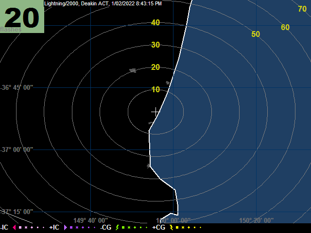
Lightning at this weather station is detected using a Boltek antenna and LD-350 module, using Lightning/2000 software. The image is updated every minute when the activity is greater than about 5 strokes per minute, and the system is turned on. The map rings show distances in km from Deakin. Very recent strikes are shown as zigzags (cloud-to-ground) or triangles (cloud-to-cloud). As the time since the flash increases, the icon size decreases. After 40 minutes the flash fades out. The stroke types are shown in the key. The flashes number is the number of separate lightning flashes recorded in the previous minute. Because the data are measured using a single antenna, the locations are indicative only, and the map should not be used for anything other than general monitoring.
 |
| :now::gauges::today::yesterday::records::trends::geomag: :lightning::sky temp::sky quality::webcam::all sky: |